Most people get sucked into the vortex of Kennedy Meadows. I was fortunate to leave the next day. Thanks MOM/Moth for all the great snacks. I packed too much food, but ate like a king! This is 8 days worth of food
I was lucky to catch some sunset disc golf at Tom's homemade frolf (disc golf) course constructed from old whisky barrels.
This was a hard shot!
This is the Kennedy Meadows General Store. I hadn't done much planning beyond this point. I figured if I had made it this far, then I was on the right track. This is where most people mail their bear canisters and gear up for hiking in the Sierra Nevada's
This was the first major water I crossed. It was perfect. I had lunch, did laundry and took a bath.
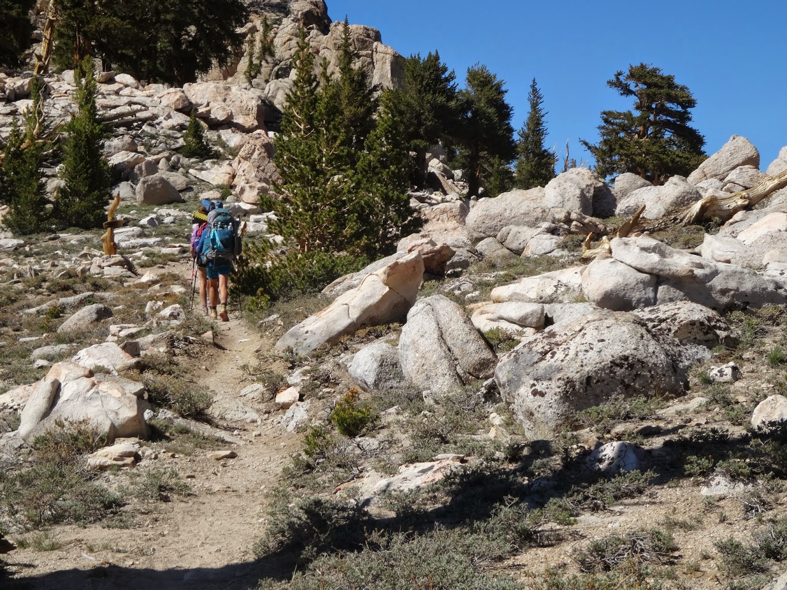
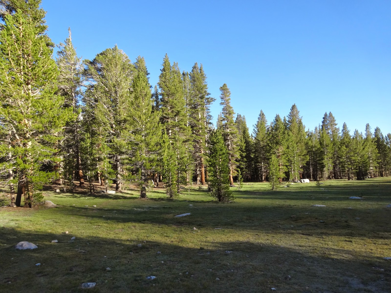
Eventually I started to climb; up and down mountains through different elevated meadows
This was a handy sign. I had left Kennedy Meadows at mile 702.
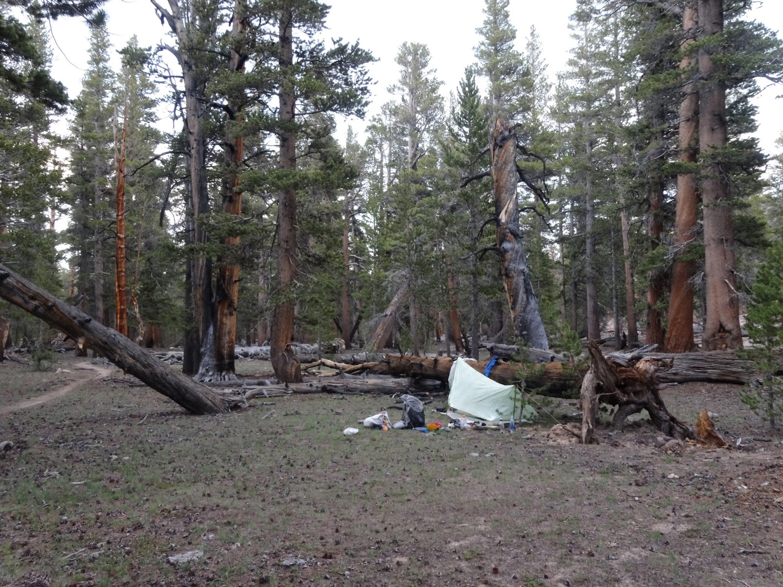
It started to get dark and I was going up so I stopped at the first spot that looked good. It was round 8:45pm.
The next days water was only 1.5 miles away. What would you know, we were going up again!
The Sierra Nevada's are known for plentiful water. However, the first 50ish miles outside Kennedy Meadows is sparce. Came across this beauty and prayed there was a better source...
The trail provides!! I followed a lightly treaded foot path and found a clear stream 5 minutes down trail.
Had no idea what this was. Someone later told me it was a salty lake that had dried up.
Continued over another mountain and through another meadow. Went off trail to get some water. The report said to look for sticks.
This is what they meant. The mosquitos were really bad here, but I was prepared for it.
I set up camp just off trail
The next day I continued to go up and made it to the first alpine lake in the Sierra.
6/22/14 - 8:13pm
15-18 miles through the Sierras as been most enjoyable! The sun is about to set and I'm having my 3rd or 4th dinner. I brought sooo much food!!! It's been nice, but this last meal has been work. The pepper flakes aren't helping. Everyone else here is very low on food so I have been gifting mine away.
It's been nice hiking around people and still doing my own thing. Frogs just started croaking LOUD.. so happy to have ear plugs.
Walked completely around the lake today. I found a nice rock to filter water on. I was about to wash some clothes when I noticed my water filter bag floating away. I was planning on going in the freezing lake eventually. I suppose this was as good as any! I splashed in and took a proper bath. I washed all the clothes I was wearing and made camp. Now journaling as the light fades away. I don't think I can fall asleep while it's light anyhow. Going to take down the rest of this meal, do my dishes and head to bed
This place is so pretty. Every time I cross a river, I can't help but smile!
This was one of my favorite signs on the trail so far. The gate was simple. Just pull the log back and replace it when you are through. Or you could climb over or under it. If it could truly be that simple to protect wilderness!
The Ranger wasn't home when I arrived at the cabin, but it didn't stop me from enjoying some real chairs and a snack!
6/23/14 - 7:47pm
Today was a lot of climbing. The legs feel great! Some friends (Lady Mac, Gourmet, Pippen and Pickleback) went further on to camp at Guitar Lake. It's about 2.5 miles beyond and 1,000 ft higher then where I wanted to camp. Since I'm planning on spending 2 nights at this gorgeous base camp, I spent extra time on camp. I'll be leaving it for about 8 hours tomorrow for my climb up Mt. Whitney. It's more than a 4,000 ft climb in the next 7.6 miles. Most of the masses come up the front side of the mountain called the Whitney Portal. The PCT comes up the back and no special permit is required.
This was camp for 2 nights.
There was a privy that faced towards an awkward wall. It was still nice to sit vs squat atop a hole.
Woke up at 4am so I would be on trail by 5 and enjoy a beautiful sunrise up to the summit of Mt. Whitney.
This is Guitar Lake where some of my friends camped. Looks COLD!
Guitar Lake
Hut at the top of Mt. Whitney
Guitar Lake coming back down
6/24/14 - 2:42pm
Came down to a beautiful creek to journal. After summiting Whitney, I met a man disoriented on the trail. We chatted as I helped him down to the junction at the Whitney Portal. Some hip, cool people were amongst friends celebrating their honeymoon. They asked if I had a cup, which I said yes and we toasted with champagne! I was more excited about the watermelon... they gave me some too!! AND packed out the rinds!
When I got down to Guitar Lake, I was thinking about taking a dip. With camp still 3 miles away, I decided to explore the creek for as long as I could instead. I walked up the neck of the guitar shaped lake and found a lightly treaded foot or animal path. I followed the stream down. My camp was along this creek and eventually saw the trail I hiked in on. What a beautiful shortcut along this high mountain stream! I found a great place to journal and here I am!.
It took me 3.5 hours to summit Whitney and probably 5 hours for the way down. Technically this 17 mile day counts as a zero since no miles were hiked on the PCT. Still, nearly everyone takes a day to summit this incredible mountain. Exploring is awesome! When I get back, I have hours of sunshine to frolic in the meadow and play in the creek!
Where poop goes to die
The beautiful meadow between the trail and my camp
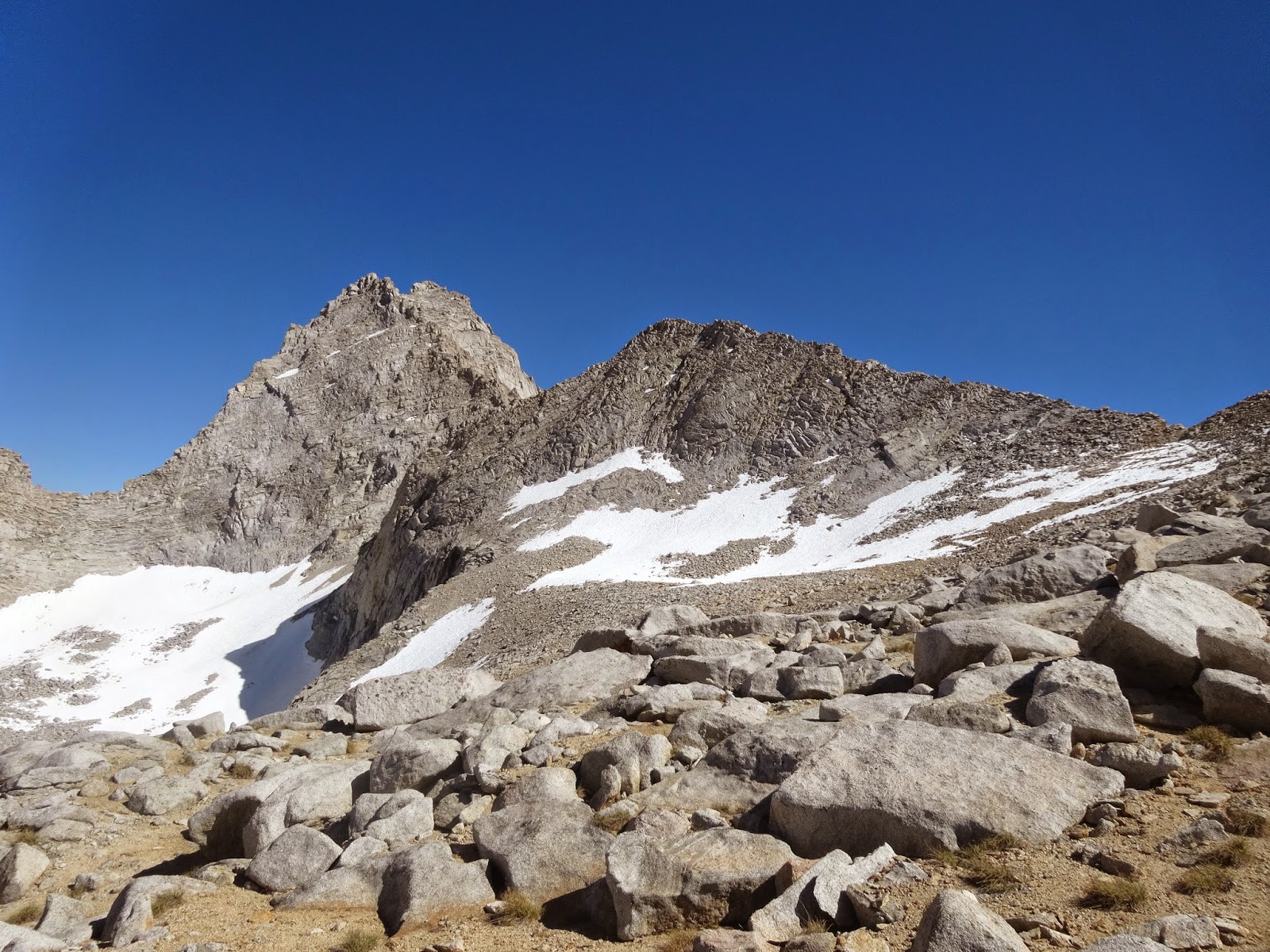
The day after summiting Mt. Whitney, I climbed Forrester Pass. This is the highest Pass along the PCT at 13,200ft. I was hiking solo for most of the day and felt selfishly lucky to have it all to myself
This was a little off trail, but worth it!
If you look close, you can see the switchbacks going up the trail. I can't imagine trying to do this with snow... It looks sketchy dry!
The trail hugged the mountain closely
It took a lot of self control to save these M&Ms for Forrester Pass; it had been 5days!
The backside of Forrester Pass
I hope these pictures are doing justice... Because this place needs to be explored by ALL and its' magnificence needs to be experienced!!!
Looking back on where I came from
Looking back further from where I had come
This was my longest trek in the Sierra yet. After summiting Whitney (highest peak in the lower 48), I climbed the highest pass on the PCT at 13,200 and did 24 miles up to Bullfrog lake. I was exhausted and the mosquitos were the worst I had seen. The wind gusts were bad too. Still, I only set up the bug bivy and passed out. It had been a long day!
I had 7.5 miles to hike out of Kearsarge Pass (an exit from the high Sierra and PCT). My ascent was windy and cold, flirting with thunderstorms the entire time. There were Trail Angels at the campground at the bottom. Bristlecone and Uber Bitch gave me soda, chips & salsa, hot soup & cheese, and facilitated a ride to the Bishop Hostel (45 min away). Thank you for some much needed Trail Magic!!
Kearsarge is not on the PCT, but many people use it as a resupply exit point. It's one of my favorite passes so far. It's stunning!
Going over the other side of Kearsarge Pass
Looking back from where I had come
Bishop is a cool town. A portal to the high Sierra, it's a great place to resupply and meet fellow adventurers. Merry Fishmas and free DSL!!!!
Pippen and Pickleback enjoying some relaxation brews at the Hostel California in Bishop. The hostel had been open for less than a month, but was great! The rate for PCT hikers was $15 per night and all the beds were tempur-pedic!
The hostel used to be an old B&B. It was over 100 years old and John Muir reportedly stayed here. It came fully furnished and had great charm. Some people were actually taking these to the trail... hahahahaha! Not sure how long they carried it for.
This is Jack. He lived there too
I left the Bishop Hostel on June 27th and headed to Squaw Creek in Tahoe for the Tony Rinaldi wedding. Hope to have my next blog up soon!


